HowToGetAcross
New South Wales
Almost anywhere in the state,
without a car.
Scroll to discover.
Almost anywhere in the state,
without a car.
Scroll to discover.
Eight hundred thousand square kilometres, one journey planner, and a stubborn rule: use as little car as we can get away with.
HowToGet searches the whole state - every train, coach, bus, ferry and on-demand service in New South Wales - and escalates reluctantly. Walking first. A taxi only where nothing else reaches. And where no timetable goes at all, it asks for the plan a local would actually give you.

Trains, coaches, buses, ferries - and your own two feet.
Local shuttles where the fixed routes end.
A car only to the door, never for the journey.
No timetable at all? Get the plan a local would give you.
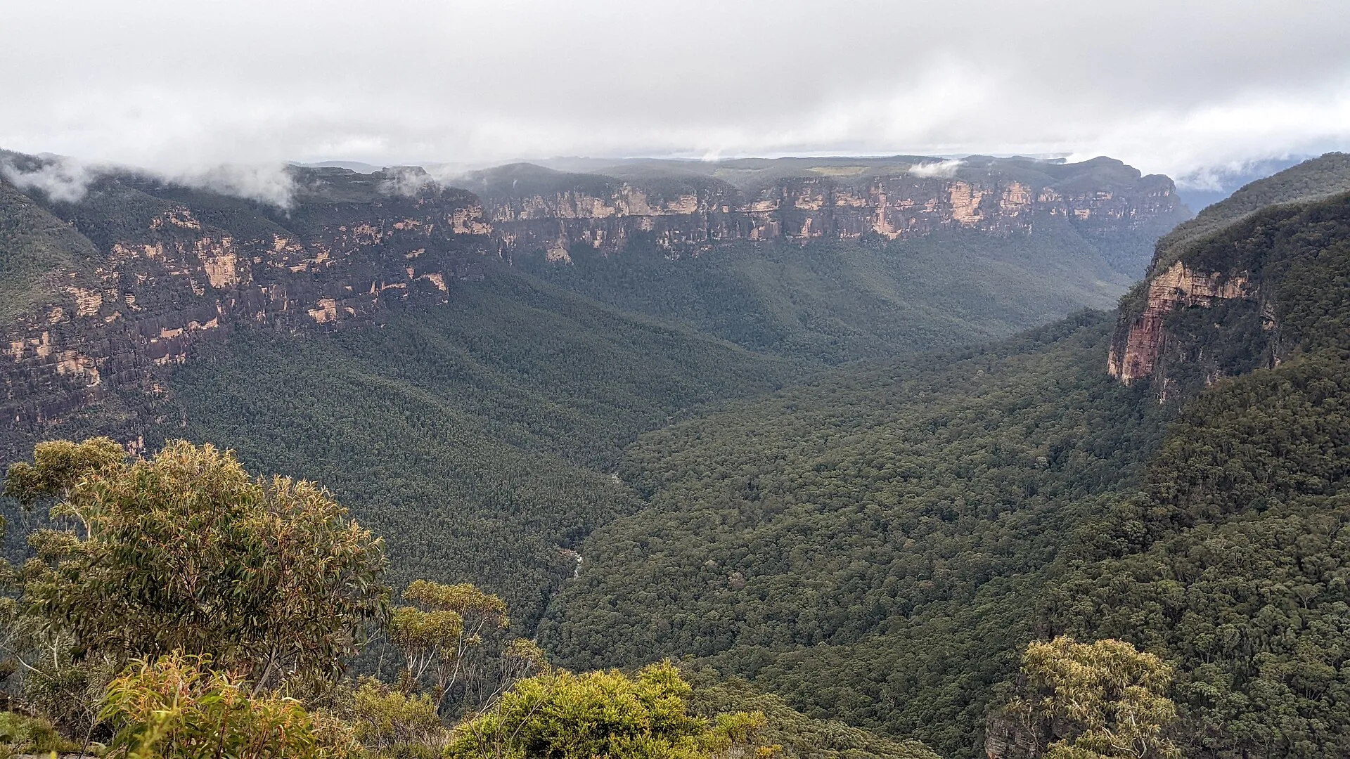
The Blue Mountains line climbs out of Central every half hour. At Leura you trade the train for Mount Hay Road, and the road for a track along the ridge - until the pagodas fall away and the whole Grose Valley opens beneath a lump of rock called Lockley Pylon. No bus goes there. It doesn’t need to.
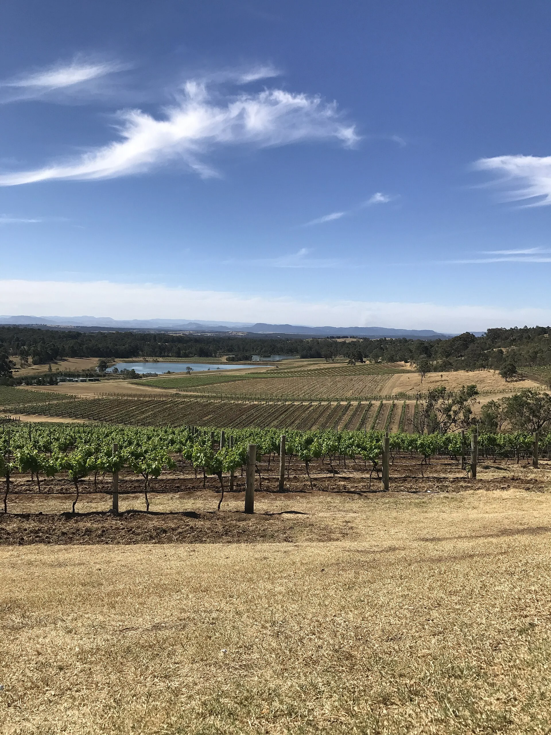
Wine country starts where the branch line ends. The train runs up the coast and doglegs inland past Maitland; at Branxton an on-demand shuttle threads you through the vines to the cellar doors. Rung two exists for exactly this - the last miles no timetable was ever written for.
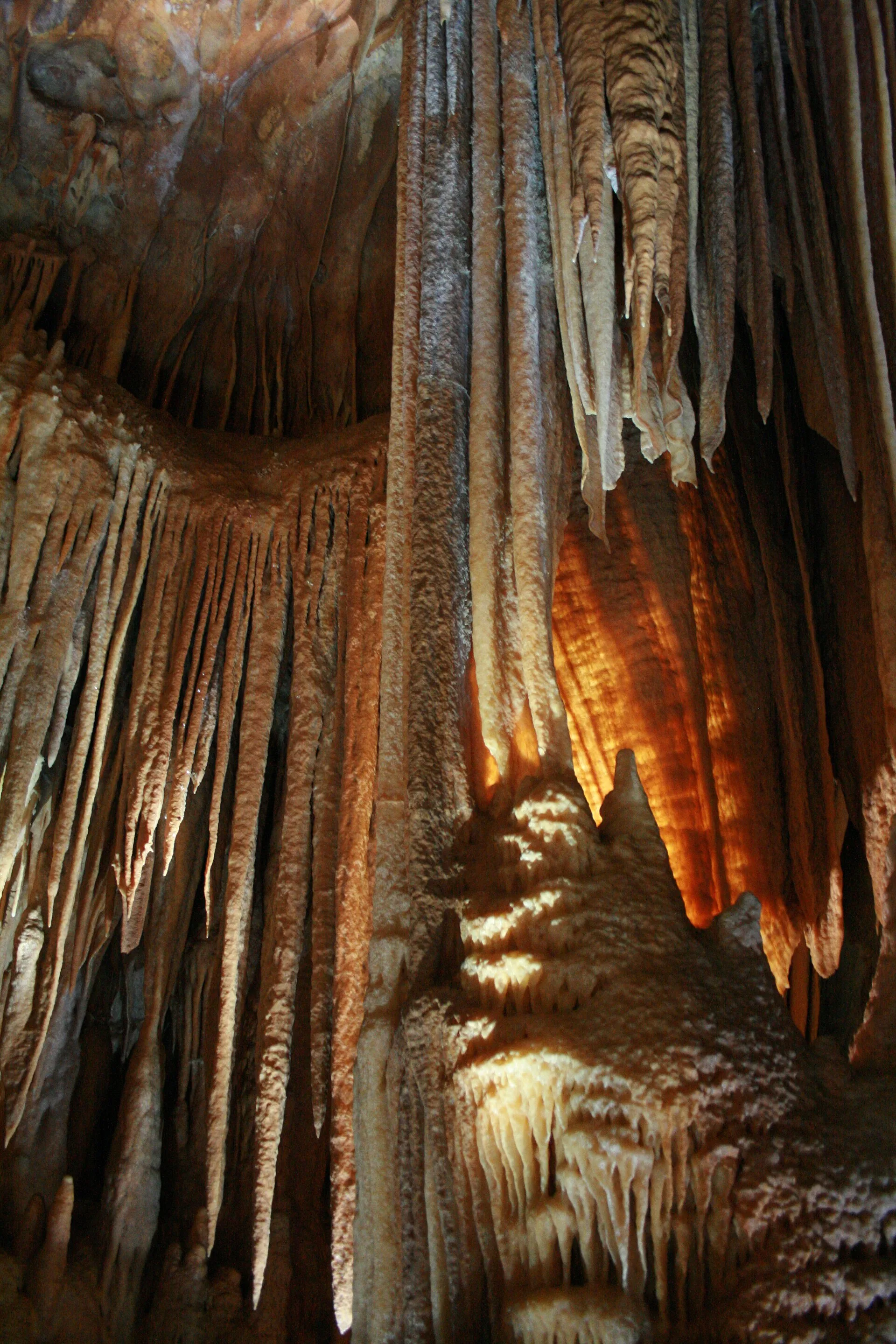
The caves have taken visitors since 1866 and shrugged off public transport for most of that time - thirty-odd kilometres of mountain switchbacks with no bus on them. So the ladder bends: rail to Katoomba, then, and only then, a car down to the Grand Arch. Two hours of train before one hour of taxi. That order is the whole point.
Every destination pre-routed from UNSW on live Transport for NSW schedules.