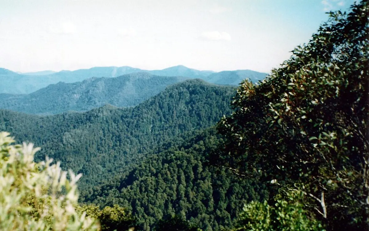
Barrington Tops · from Sydney by public transport
Careys Peak is about 6 hours 20 minutes from Sydney by train and bus, with 4 changes on a typical weekday morning. Public transport gets you as far as Salisbury Rd at Rumbels Rd, 24.6 km short; see the last mile below.
About Careys Peak
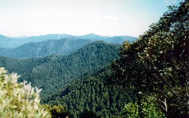
Careys Peak is a peak in the Williams Range, part of the Mount Royal Range, located in the Upper Hunter region of New South Wales, Australia.
From Wikipedia, licensed under CC BY-SA 4.0.
Step by step
- Central Coast Line from Central Station to Hamilton Station, leaving at 10:20 (2h 29m).
- Walk 950 m to Maitland Rd at Hubbard St. About 100 m of it follows a road with no footpath mapped.
- Bus 11 from Maitland Rd at Hubbard St to Maitland Rd before Hanbury St, leaving at 13:02 (6 min).
- Walk 850 m to Waratah Station. About 700 m of it follows a road with no footpath mapped.
- Hunter bus from Waratah Station to Dungog Station, leaving at 13:36 (1h 13m).
- Walk 850 m to Dungog Public School, Chapman St. About 450 m of it follows a road with no footpath mapped.
- Bus S437 from Dungog Public School, Chapman St to Dungog High School, Chichester Dam Rd, leaving at 15:12 (12 min).
- Bus S433 from Dungog High School, Chichester Dam Rd to Salisbury Rd at Rumbels Rd, leaving at 15:28 (38 min).
- From Salisbury Rd at Rumbels Rd, the last 24.6 km to Careys Peak has no scheduled service: see Last mile.
Plan this trip live for your date
Closest station and stops
There is no train station within 6.0 km of Careys Peak. The usual route from Central leaves you at Salisbury Rd at Rumbels Rd, which is the stop to use.
| Kind | Nearest to Careys Peak | Distance |
|---|---|---|
| Where the usual route stops | Salisbury Rd at Rumbels Rd |
Walking distances follow the footpath network; where a stop is not joined to it the distance is a straight line, and the walk is longer.
By train, ferry, bus or light rail
Each line is a separate search of the timetable using only that kind of transport (and the train to reach a wharf or light rail stop), on weekday mornings from Central.
- By train alone: not possible; no train stop is near enough to walk.
- By bus alone: not possible; no bus stop is near enough to walk.
When to go
- Weekdays: first departure from Central at 10:19, last at 10:19; one journey a day.
- Saturdays: no journey in the timetable.
- Sundays: no journey in the timetable.
Times are departures from Central Station for journeys that reach Careys Peak the same day, read from the published timetable.
Accessibility
Not confirmed. The timetable does not say whether Central Station, Central Coast Line, Maitland Rd at Hubbard St, bus 11, Waratah Station, Hunter bus, Dungog Public School, Chapman St, bus S437, Dungog High School, Chichester Dam Rd, bus S433 and Salisbury Rd at Rumbels Rd are step-free, so we do not claim it. We found no route from Central that is published as step-free all the way.
| On the usual route | Timetable says |
|---|---|
| Central Station (board) | not published |
| Central Coast Line (vehicle) | not published |
| Maitland Rd at Hubbard St (change) | not published |
| bus 11 (vehicle) | not published |
| Waratah Station (change) | not published |
| Hunter bus (vehicle) | not published |
| Dungog Public School, Chapman St (change) | not published |
| bus S437 (vehicle) | not published |
| Dungog High School, Chichester Dam Rd (change) | not published |
| bus S433 (vehicle) | not published |
| Salisbury Rd at Rumbels Rd (get off) | not published |
From the wheelchair fields Transport for NSW publishes with the timetable. It has no information on lifts, ramps or whether a lift is working today; check Transport for NSW before you travel.
Last mile
Scheduled services end at Salisbury Rd at Rumbels Rd, 24.6 km short of Careys Peak. No bus or coach covers that stretch, so you need a pre-booked taxi or a transfer: about 35 minutes by road. Book it before you leave — in country towns there may be only one operator, and none waiting at the stop.
Nearby places reachable by transit
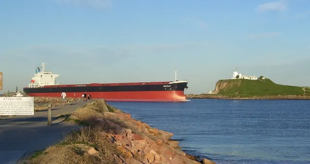 Hunter Valleyabout 5 hours 40 minutes from Sydney by train and bus
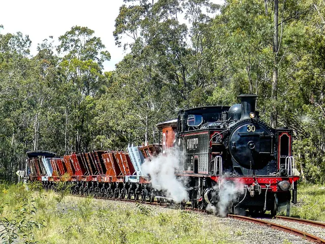 Richmond Vale Railway Museumabout 4 hours 30 minutes from Sydney by bus
- University of Newcastleabout 3 hours 10 minutes from Sydney by train and bus
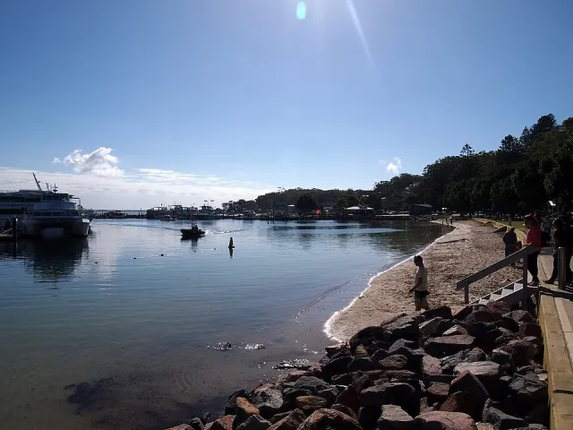 Port Stephensabout 4 hours 20 minutes from Sydney by train and bus
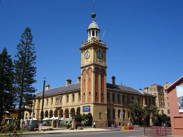 Newcastleabout 3 hours from Sydney by train and bus
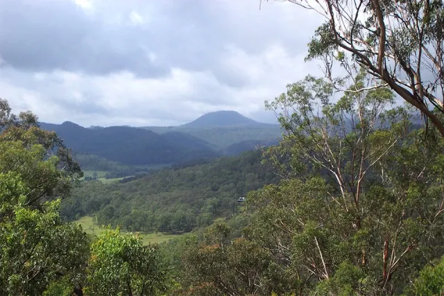 Mount Warrawolongabout 3 hours 20 minutes from Sydney by train and bus
Questions
- Can you get to Careys Peak without a car?
- Mostly. Public transport (train and bus) takes you to Salisbury Rd at Rumbels Rd, about 6 hours 20 minutes from Sydney with 4 changes. The final 24.6 km has no scheduled service; the Last mile section covers how to do it.
- How long does it take to get to Careys Peak from Sydney?
- About 6 hours 20 minutes from Sydney: the median of 5 weekday journeys leaving between 8 and 10 am.
- Is there public transport to Careys Peak on Sundays?
- No. The timetable has no journey from Central to Careys Peak on a Sunday; plan it for a weekday instead.
- What is the closest train station to Careys Peak?
- There is none within 6.0 km. Careys Peak is reached by train and bus, getting off at Salisbury Rd at Rumbels Rd.
- Can you get to Careys Peak by train?
- Not by train alone: no train stop is near enough to walk. The usual way is train and bus.
- Is Careys Peak wheelchair accessible by public transport?
- Not confirmed. The timetable does not say whether Central Station, Central Coast Line, Maitland Rd at Hubbard St, bus 11, Waratah Station, Hunter bus, Dungog Public School, Chapman St, bus S437, Dungog High School, Chichester Dam Rd, bus S433 and Salisbury Rd at Rumbels Rd are step-free, so we do not claim it. We found no route from Central that is published as step-free all the way.